5th August 2015

Thin alternating layers of sandstone and limestone?

Ben na Caillich (Mountain of the Old Lady - I was told there is a Scandinavian princess buried on the peak) north west of Loch Cill Chriosd. This granite mountain is amongst the earliest igneous intrusions on Skye. Somewhere on the left can be found rocks formed by explosive volcanic activity, i.e., a volcanic vent.

On the south west side of the Broadford to Elgol road a dolerite intrusion is exposed. Dolerite is a volcanic rock, similar to basalt but containing crystals visible with a hand lens as it has cooled underground (at a relatively shallow depth) and therefore slightly more slowly than basalt. Granite cools at a greater depth and therefore contains larger crystals than dolerite.

The dolerite dyke retreating south eastwards from the road. According to Jo this intrudes through Durness limestone {dolostones [mostly dolomite - CaMg(CO3)2] ?} and, for a short distance, through granite. According to some sources the acidity of the granite bedrock around here encourages the growth of heather, whereas a rich growth of grass is associated with dolostones. The name of this area, Strath Suardal, means the dale of green pasture. The picture we saw wasn't that clear, dolerite being more basic than granite but more acidic than dolostones, and the location of vegetation not was not so well defined.

Pink granite.

Looking west down the valley where one can see the existing marble quarrying operation in the distance at Torrin and further still is Bla Bheinn (Blue Mountain) of the Black Cuillin.

We didn't know whether this effect was due to sedimentation or weathering.

This does appear to be weathering.


We thought this might be a fossilized dinosaur foot!

Approaching the remains of a cottage.

Halfway up the wall lives a tree.


Sedimentary layers of limestone laid down around 480 million years ago when Scotland lay south of the equator on the southern margin of the "North American" continent Laurentia?

Are these skarns, comprised mainly of magnetite (an iron oxide), formed where granite intrudes calcium-rich carbonate rock and releases hot aqueous solutions rich in silica, aluminium, iron, and magnesium which subject the rock to metasomatism (chemical alteration of rocks by hydrothermal and other fluids)?


A little piece of marble.

Is this granite bedrock or Durness limestone?

Nodules of iron-containing minerals?


The possible site of a seam of marble, mined out many years ago.

One of the many revealing fragments lying around.

Lots of tiny crystals of mineral embedded in this rock.

The remains of an old winch?

Possible signs of the green fibrous mineral serpentine which, according to Wikipedia, is a "group of common of rock-forming hydrous magnesium iron phyllosilicate minerals. This could be antigorite [(Mg,Fe)3Si2O5(OH)4] or the fibrous forms, chrysotile [(Mg3Si2O5(OH)4)] which is a type of asbestos.

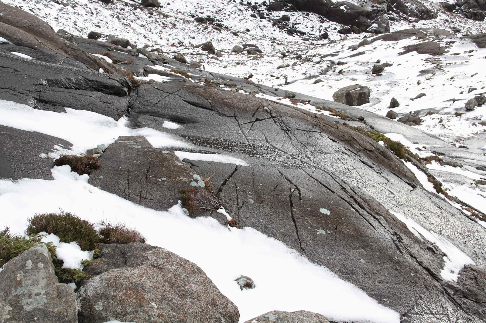
What are these wavy lines?

And there were lots of whorly structures.

More serpentine?


A disused marble quarry.

The remains of a building which must have been part of the system for shipping out marble, perhaps a loading and sorting yard at the head of the railway?

And next to this, what looks like a platform at a railway station.